

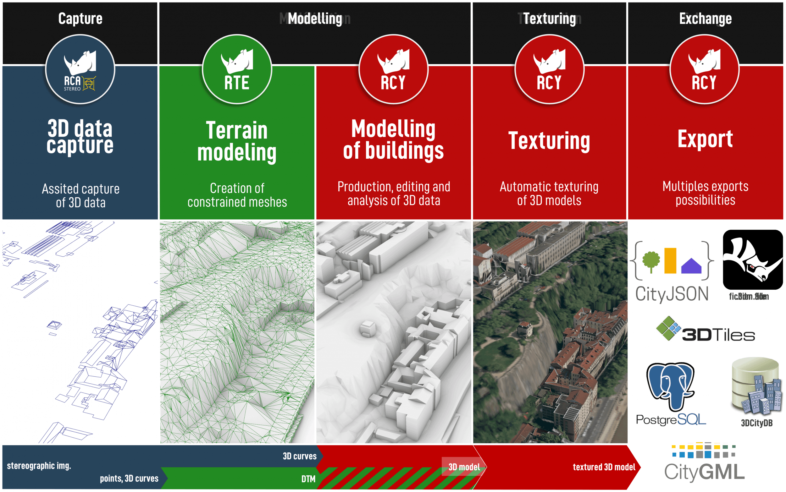
RhinoCity
3D Tiles
3D Tiles is an open specification designed for streaming heterogenous 3D geospatial content.
Submitted to the Open Geospatial Consortium (OGC) by a team led by Cesium, the OGC has approved the 3D Tiles Specification 1.0 for adoption as Community Standard.
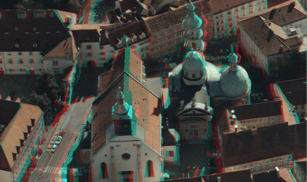
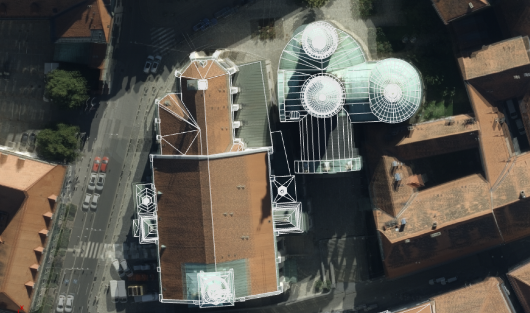
RhinoCity™ allows the 3D Tiles export of your 3D textured data !
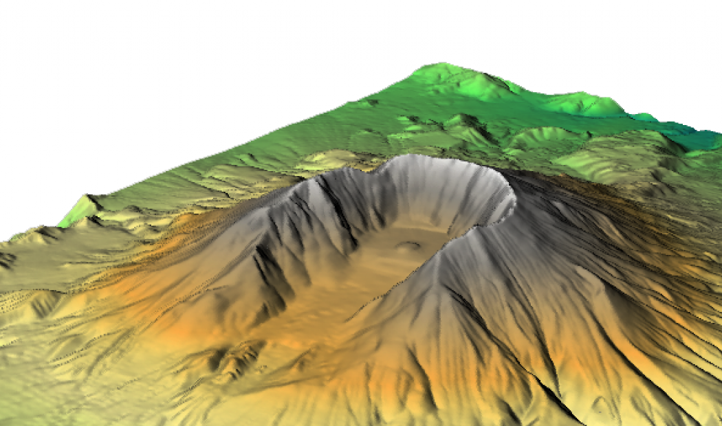
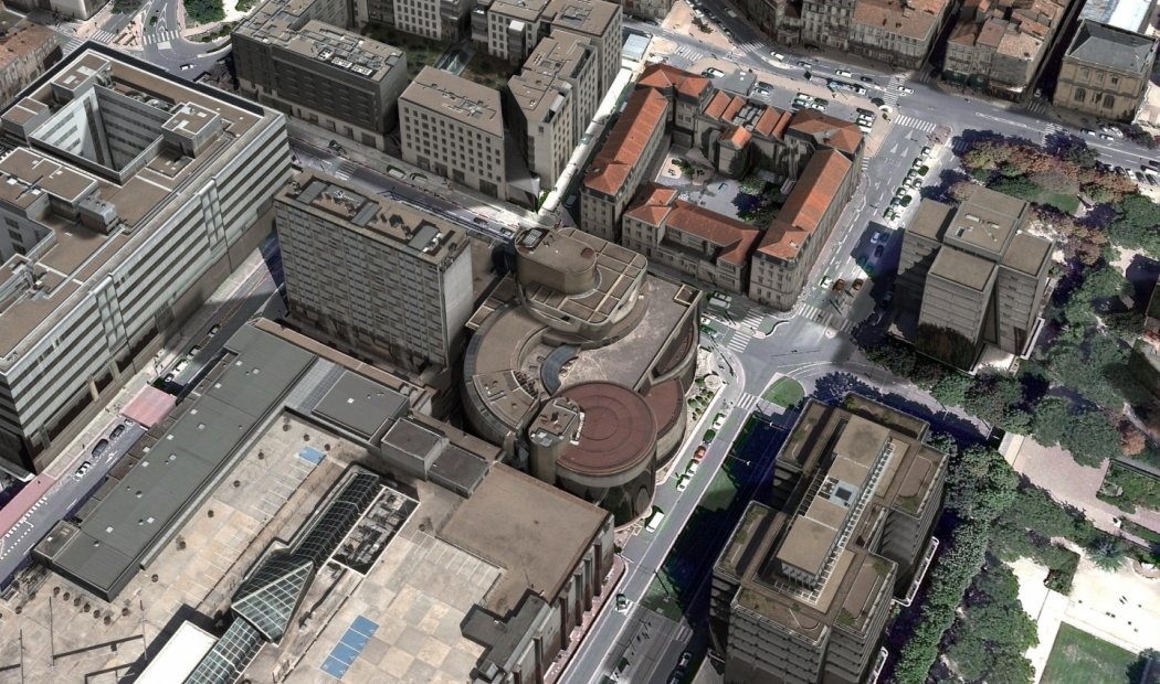
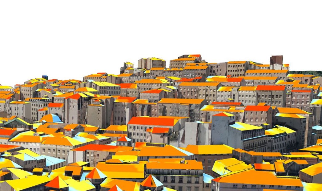
The 3D models produced are exportable to in this new format, exploiting these most advanced features :
Draco is an OpenSOurce extension developed by Google to compress and decompress 3D meshes.
Compression of vertices, normals, colors and texture coordinates dramtically improve the speed of transmitting 3D content on the Web.
The glTF is the result ot the Khronos Group consortium that already initiated the specifications of Collada, Vulkan et OpenGL.
Sometimes presented as the "3D JPEG" glTF can minimize the size of 3D scenes described and therefore minimize the time of loading and rendering, espacially on the Web.
Submitted to the Open Geospatial Consortium (OGC) by a team led by Cesium, the OGC has approved the 3D Tiles Specification 1.0 for adoption as Community Standard.
RhinoCity™ allows the 3D Tiles export of your 3D textured data !
The 3D models produced are exportable to in this new format, exploiting these most advanced features :
Draco is an OpenSOurce extension developed by Google to compress and decompress 3D meshes.
Compression of vertices, normals, colors and texture coordinates dramtically improve the speed of transmitting 3D content on the Web.
The glTF is the result ot the Khronos Group consortium that already initiated the specifications of Collada, Vulkan et OpenGL.
Sometimes presented as the "3D JPEG" glTF can minimize the size of 3D scenes described and therefore minimize the time of loading and rendering, espacially on the Web.


")


